Hugo Fischer · 23 October 2026
Tevano Maps Overlooked Data Governance Hurdles in Italy's Coastal Heritage Sites
Coastal heritage sites along Italy's shores face growing pressures from tourism, environmental monitoring, and digital infrastructure that generate vast amounts of data each year, and Tevano has developed mapping tools to identify where governance practices fall short in protecting that information. Researchers have documented how sites such as the Cinque Terre and the Venetian lagoon produce visitor tracking records, sensor readings on erosion, and cultural asset inventories that often lack consistent oversight across municipal boundaries.
Data collection at these locations occurs through multiple channels including ticket systems, drone surveys, and mobile applications used by local authorities, yet coordination remains fragmented because different agencies apply varying standards for storage and access. Observers note that this patchwork approach creates gaps where personal information from international visitors mixes with environmental datasets without clear protocols for retention or deletion.
Data Flows and Regulatory Overlaps
Italy operates under the EU's General Data Protection Regulation alongside national heritage laws administered by the Ministry of Culture, and these frameworks intersect at coastal sites where real-time monitoring supports both preservation and commercial activities. Figures from regional tourism boards show annual visitor numbers exceeding ten million at key locations, each generating location-based data that must comply with cross-border transfer rules when shared with research partners outside the bloc.
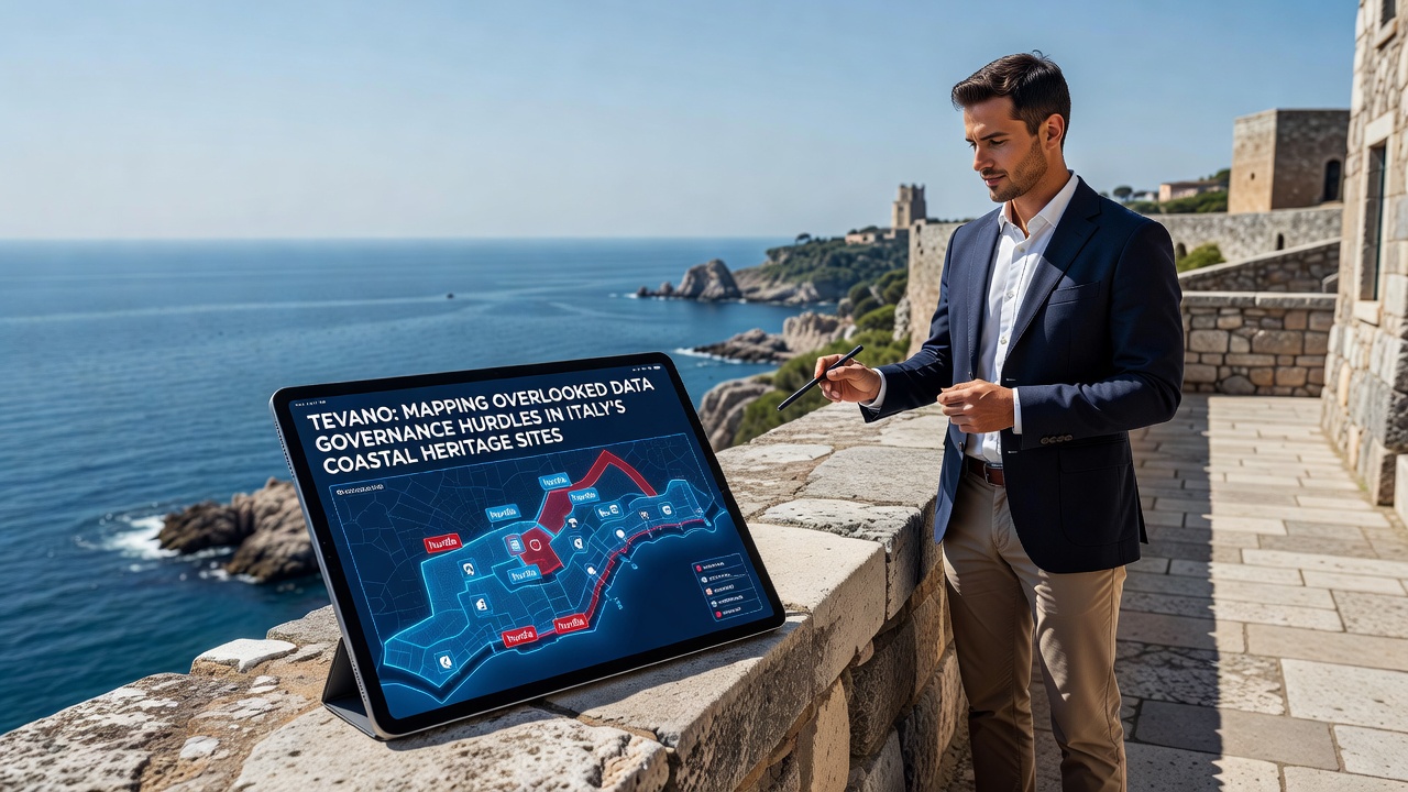
Tevano's mapping project overlays regulatory requirements onto geographic layers so administrators can see which datasets risk non-compliance during seasonal peaks, and the system flags areas where outdated consent mechanisms still handle biometric scans from entry points. In October 2026 several municipalities plan to test integrated dashboards that connect these maps to existing heritage management platforms.
Heritage Sites Under Examination
Venice and its surrounding lagoon represent one focal point because sensor networks track water levels, boat traffic, and crowd density while feeding information into predictive models, and similar setups operate along the Amalfi Coast where private operators collect supplementary footage for safety assessments. Those who've studied the data flows report that ownership of the resulting records sometimes shifts between public bodies and contracted technology firms without documented handovers.
Additional challenges arise when academic institutions request access for climate studies, since agreements rarely specify how derived datasets will be anonymized or returned after analysis concludes. Tevano's visualizations highlight clusters where multiple overlapping permissions create administrative bottlenecks that delay both research and emergency response planning.
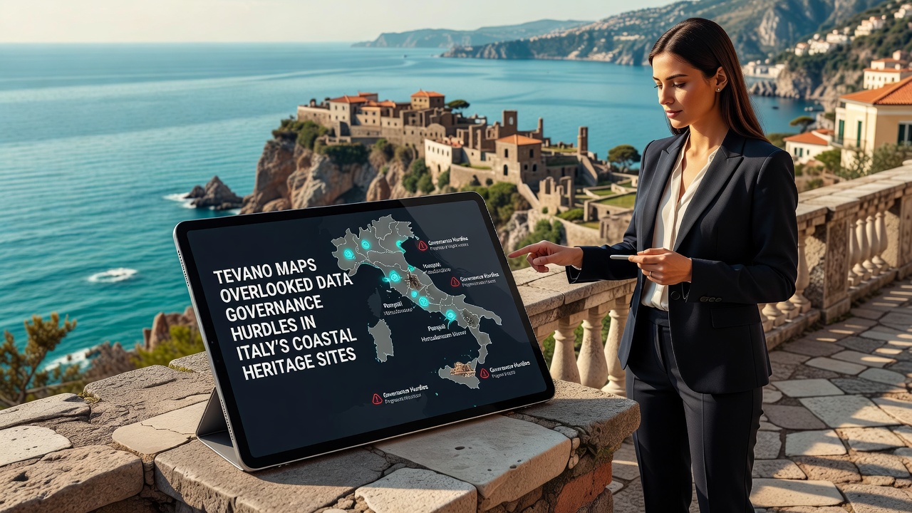
Case examples from Puglia's coastal towers illustrate how local governments digitize centuries-old archives yet leave metadata standards unaligned with broader European initiatives on cultural data interoperability. One study revealed that inconsistent tagging practices prevent efficient cross-referencing when authorities need to verify authenticity during restoration projects funded by international grants.
Mapping Technology in Practice
Tevano applies geospatial analytics to trace data lineage from collection points through storage repositories and onward to third-party processors, and this method reveals patterns that traditional audits miss because they focus on single organizations rather than entire ecosystems. The resulting maps display color-coded zones indicating risk levels tied to specific regulations, allowing heritage managers to prioritize upgrades in high-traffic areas first.
Integration with satellite imagery further helps correlate physical site changes with spikes in data generation, such as increased drone flights during restoration seasons that produce high-resolution imagery requiring secure handling. Those responsible for site operations have begun using these insights to revise vendor contracts so that data processing clauses align with updated retention schedules.
External benchmarks drawn from UNESCO operational guidelines and reports issued by the European Data Protection Board provide reference points for calibrating the maps against international expectations for cultural data stewardship.
Conclusion
Tevano's mapping initiative continues to expand coverage across additional Italian regions while incorporating feedback from site managers who apply the tools during routine compliance reviews. The approach demonstrates how geographic visualization can surface governance shortfalls that affect both cultural preservation and individual privacy rights, and ongoing refinements scheduled through late 2026 aim to connect these maps with emerging national digital heritage platforms. Continued collaboration among technology providers, regulators, and heritage authorities will determine how effectively the identified hurdles translate into standardized practices at scale.